 Skyslice
For iPhone · Student and VFR pilots
See the weather on your route. In 3D.
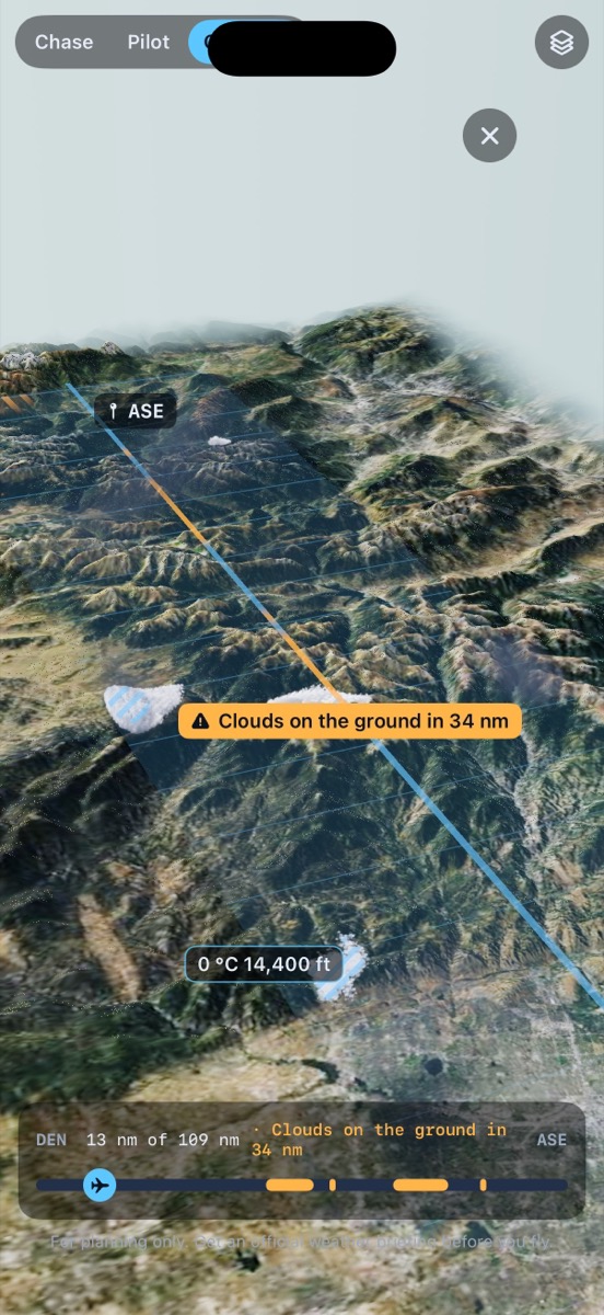
Skyslice turns the latest NOAA HRRR forecast into a slice of sky along your exact route: every cloud layer, icing, turbulence and the freezing level, over real terrain. Fly it before you fly it.
What you see
Everything between you and your destination.
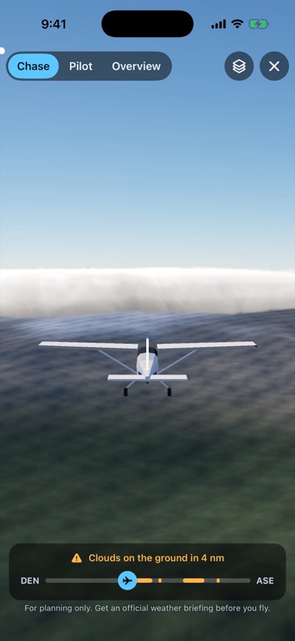
A forecast you can look at from every angle: from the cockpit, behind the plane, or the whole route at once. Press play and watch it unfold.
Clouds in 3D
Bases, tops and layers from the 3 km HRRR model, drawn as real volumetric clouds along your path.
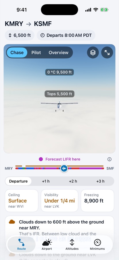
Know where it turns IFR
The route bar is coloured VFR, MVFR, IFR and LIFR, mile by mile, for now and the next three hours.
Icing and turbulence
Where icing and turbulence are likely, derived from the forecast, and the freezing level, right where you would fly through them.
Your altitude, checked
Skyslice compares each VFR cruising altitude with the cloud-clearance rules and suggests one.
Your minimums
Set your personal ceiling, visibility, wind and crosswind limits. Skyslice shows where the route breaks them.
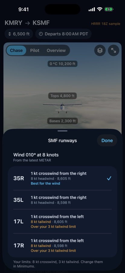
Runways and crosswind
The best runway for the wind is picked for you. Tower gave you another? One tap and everything updates.
A closer look
Plan with your eyes.
Works with your EFB
A companion to ForeFlight.
Export your route from ForeFlight or Garmin Pilot as a flight plan file, open it in Skyslice, and see the weather along it. Or type it: KMRY KSMF.
Pricing
Start free. Go Pro when you fly more.
Free
$0
- Airport view in 3D
- Sample routes
- One live route a day
Skyslice Pro
$59.99 / year
1 week free, or $7.99 a month.
- Any route, as often as you like
- The forecast 1, 2 and 3 hours later
- Personal minimums along the route
- Cruising altitudes compared
Skyslice is a planning and situational-awareness tool. It is not an official weather briefing and not for navigation. Get an official briefing before every flight (14 CFR 91.103). The pilot in command decides.